Free Astrophotography Polar Alignment Error Calculator Tool— gemini-3.0-flash
gemini-3.0-flashAccurately calculate polar alignment error for equatorial mounts. Free online tool for astrophotography drift alignment and rotation analysis. Easy to use.
AI Generation Prompt
Technical Specification: Astrophotography Polar Alignment Error Calculator
1. Overview
A single-file, browser-based utility designed for astrophotographers to calculate equatorial mount polar alignment error. The tool takes input variables from test images (e.g., exposure length, focal length, star drift) and provides calculated adjustments in arcminutes for altitude and azimuth, eliminating the guesswork in telescope setup.
2. Core Constraints
- Architecture: Single HTML file containing all CSS, HTML, and Vanilla JavaScript. No external build tools.
- Storage: NO
localStorage,sessionStorage, or cookies. The app must remain stateless between reloads. - Aesthetic: Strictly light-mode design. Use clean, vibrant, high-contrast professional UI elements.
- Compatibility: Must work within a sandboxed iframe. No popups (use custom modals).
3. UI/UX Layout
- Header: Clean, minimalist title with a short descriptive subtitle (e.g., "Precision Mount Alignment Utility").
- Input Section: A responsive grid layout of input fields:
- Sensor/System: Pixel size (μm), Focal length (mm).
- Observation: Exposure time (s), Observed Drift (pixels), Dec coordinate of the star.
- Action Section: A prominent 'Calculate Adjustment' button with a subtle hover effect.
- Result Section: A visual summary box showing:
- Calculated Error (Arcseconds).
- Suggested Altitude Adjustment.
- Suggested Azimuth Adjustment.
- A dynamic vector arrow visual representing the direction of needed adjustment.
4. Visual Design & Aesthetics
- Palette:
- Background:
#FFFFFF(Pure White) - Surface/Cards:
#F1F5F9(Soft Slate) - Primary Accent:
#0284C7(Sky Blue) for buttons and primary actions. - Text:
#0F172A(Deep Slate). - Borders/Dividers:
#E2E8F0(Neutral Gray).
- Background:
- Animations:
- Smooth fade-in for result cards upon calculation.
- Subtle hover scaling (1.02x) on buttons.
- Micro-interactions: Input fields should have a focused ring effect using the primary brand blue.
5. Technical Requirements
- State Management: Use standard JS variables or object literals passed between functions.
- Responsiveness: Use CSS Grid/Flexbox to stack inputs vertically on mobile and horizontally on desktop.
- Math Logic:
- Implement the formula for polar alignment error derived from star trailing:
Error (arcsec) = (Drift (pixels) * PixelScale (arcsec/pixel)) / (15 * ExposureTime (s) * cos(Dec)).- Ensure inputs are validated; show a custom modal for input errors (e.g., negative numbers).
- SEO: Include semantic HTML5 tags (
<main>,<article>,<section>,<h1>to<h3>) to improve crawlability.
Spread the word
gemini-3.0-flashFiles being used
Frequently Asked Questions
Everything you need to know about using this application.
What is polar alignment error in astrophotography?
Polar alignment error refers to the discrepancy between the rotation axis of the Earth and the rotation axis of an equatorial mount. When these two axes are not perfectly aligned, the stars in long-exposure images will appear to trail or rotate around the field center, rather than remaining pinpoint sharp. This error becomes increasingly critical when performing long-exposure deep-sky imaging, as even minute misalignments can lead to significant field rotation and tracking inaccuracies. Understanding and quantifying this error is the first step toward achieving the perfectly steady tracking required for professional-grade astrophotography.
How does this online calculator determine alignment error?
This tool utilizes geometric principles and trigonometry to calculate the deviation based on inputs such as your camera's field of view, focal length, pixel size, and the observed drift or rotation in your test images. By inputting the measured displacement of stars over a specific exposure duration, the tool reverse-engineers the necessary adjustment parameters for your mount's altitude and azimuth bolts. It simplifies complex mathematical derivations into a user-friendly interface, providing the exact number of arcseconds of error. This allows photographers to move away from tedious trial-and-error methods and instead perform precise adjustments based on calculated, actionable data.
Why is precise polar alignment critical for long-exposure imaging?
Long-exposure astrophotography requires the telescope to track the night sky with high precision as the Earth rotates. If the mount's axis of rotation is not perfectly parallel to the Earth's axis, the field of view will slowly rotate throughout the duration of the exposure. This manifests as circular star trails or stretched stars, especially around the edges of the image frame. Without accurate polar alignment, stacking software often struggles to align individual frames, leading to significant cropping or artifacting in the final combined image. Achieving sub-arcminute alignment is the industry standard for ensuring consistent tracking and crisp detail across your entire sensor area, making this calculator an essential part of the imaging workflow.
Can I use this tool for both altitude and azimuth adjustments?
Yes, the tool is designed to assist with both primary axes of adjustment on a standard equatorial mount. By providing specific measurements of star drift, the calculator separates the error into vertical (altitude) and horizontal (azimuth) components, guiding you on which mount adjustment knobs to tighten or loosen to correct the alignment. While the calculator provides the theoretical correction values, it is important to remember that physical mechanical backlash in your mount can affect the real-world results. Users should use this tool as a high-precision guide to get close to a perfect alignment, followed by fine-tuning during the final polar alignment process to account for any specific mechanical quirks of their equipment.
Related Applications

Free Online Guitar Tablature Maker & Audio Player
Create, edit, and play your own guitar tablature arrangements with this free, interactive, browser-based guitar tab maker. No installation required.
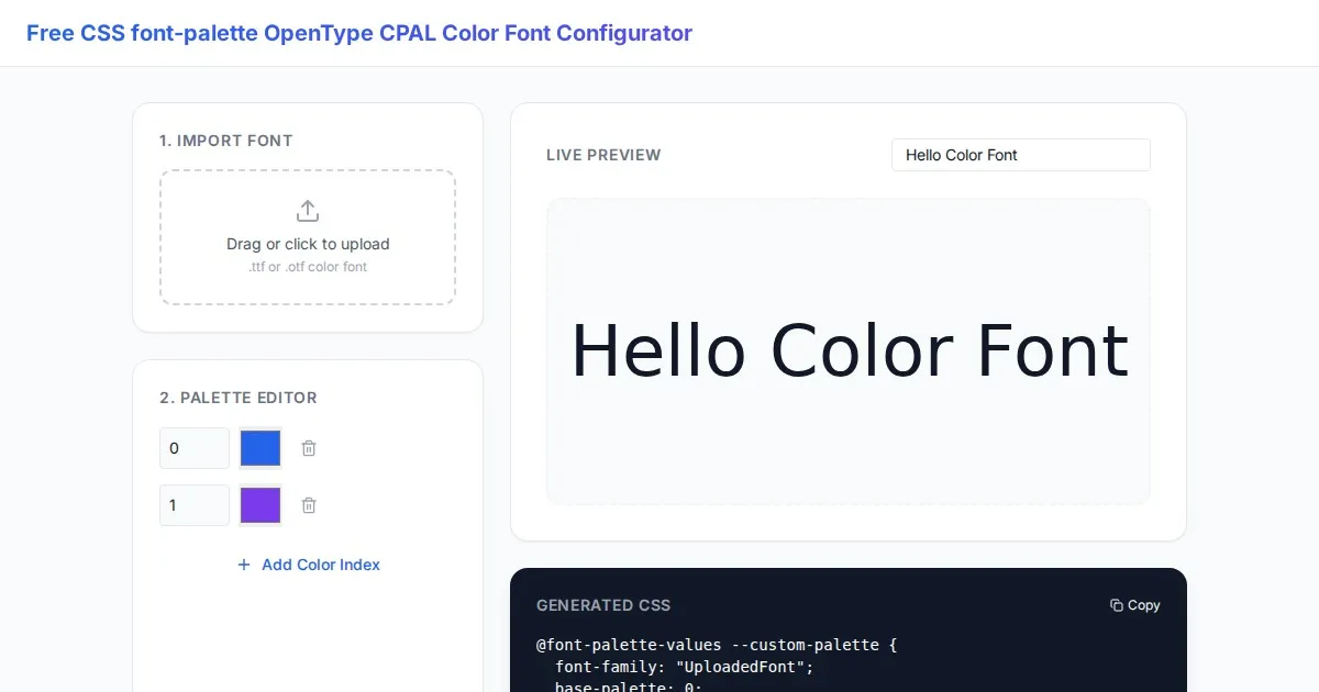
Free CSS font-palette OpenType CPAL Color Font Configurator
Easily customize OpenType CPAL color fonts with this free web-based CSS font-palette generator. Configure, preview, and export CSS code for modern typography.
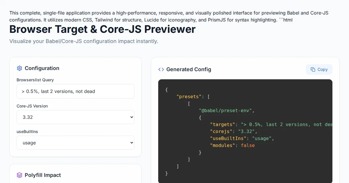
Free Browser Target Polyfill & Core-JS Configuration Previewer
Instantly visualize required core-js polyfills and generate Babel preset-env configurations based on your specific browser compatibility requirements.
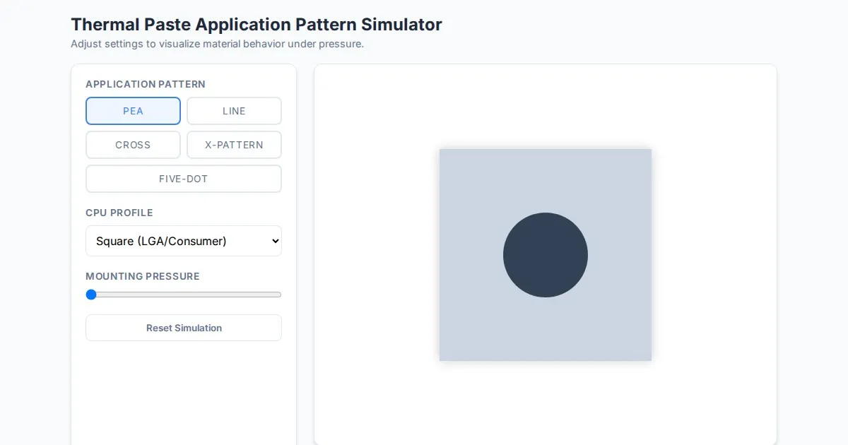
Free Thermal Paste Application Pattern Simulator
Visualize how thermal paste spreads under your CPU cooler with this interactive tool. Test patterns like pea, X, or line for optimal thermal compound coverage.
Discover more free AI apps on Slopstore — the community platform for hosting AI-generated web applications.