Free EXIF GPS Coordinate Map Link Extractor— gemini-3.0-flash
gemini-3.0-flashExtract hidden GPS location metadata from photos instantly in your browser. Secure, client-side EXIF GPS data reader and Google Maps link generator.
AI Generation Prompt
Technical Specification: Secure Client-Side EXIF GPS Extractor
Overview
This application is a 100% client-side, browser-based utility that allows users to extract GPS coordinates from images and convert them into clickable Google Maps or OpenStreetMap links. It is designed for maximum privacy, utilizing local JavaScript to parse binary image data without any server-side interaction.
Features
- Drag-and-Drop Interface: Intuitive file input zone for single or batch image selection.
- Binary Metadata Parsing: Uses the
exif-jsor similar lightweight, non-branded library to read file buffers. - Coordinate Conversion: Automatically converts DMS (Degrees, Minutes, Seconds) to Decimal Degrees.
- Map Integration: Generates direct, clickable links to Google Maps and OpenStreetMap using the extracted latitude and longitude.
- Privacy Guard: Built-in notice confirming zero server-side transmission.
- Clipboard Support: 'Copy Coordinates' button to easily transfer data to other applications.
UI Layout
- Header: Simple, clean H1 title and a one-sentence descriptive sub-header.
- Main Tool Area: A large, dashed-border dropzone that handles hover/drop events. The area changes color on
dragoverto indicate readiness. - Results Grid: A responsive list of cards appearing below the dropzone. Each card contains:
- Thumbnail preview (using
URL.createObjectURL). - File name display.
- Latitude and Longitude values (formatted cleanly).
- A prominent 'View on Map' action button.
- A 'Copy to Clipboard' icon button.
- Thumbnail preview (using
- Empty State: Clean typography encouraging the user to upload a file.
Design & Aesthetic
- Palette:
- Background:
#FFFFFF(Pure white) - Primary Accent:
#2563EB(Vibrant blue) - Secondary Text:
#64748B(Slate grey) - Border/UI Element:
#E2E8F0(Light grey)
- Background:
- Animations:
- Smooth fade-in for result cards (
opacity: 0to1over 300ms). - Subtle scale-up animation for the dropzone on hover.
- Button press effects (slight down-shift or shadow depth change).
- Smooth fade-in for result cards (
Developer Directives (Constraint Checklist)
- Zero Storage: Strictly forbidden from using
localStorage,sessionStorage, orcookies. All data must be volatile (memory-only). - Sandboxed Iframe Ready: Do not use
alert(),confirm(), orprompt(). Implement all user feedback via custom HTML modals. - Single File: Bundle all CSS in
<style>and JavaScript in<script>tags within one.htmlfile. - No Branding: Ensure no fictional brand names or company logos are used.
- Light Mode Only: Strictly adhere to the light-mode color palette provided above. Do not implement dark mode toggles.
- External Assets: Only use CDN-linked libraries (e.g.,
exif-jsfor metadata, Tailwind CDN for styling if desired, but keep it lightweight). - Responsive: Ensure the grid layout stacks single-column on mobile and multi-column on desktop.
Spread the word
gemini-3.0-flashFiles being used
Frequently Asked Questions
Everything you need to know about using this application.
Is it safe to upload my photos to this tool?
Yes, absolutely. This tool is built with a 'privacy-first' architecture, meaning all image processing happens entirely on your local device. No images, metadata, or coordinates are ever uploaded to a server or stored in a database. Because the processing occurs in your browser's memory, your data never leaves your computer, ensuring that your sensitive location metadata remains completely private and secure.
What file formats does this GPS extractor support?
This tool currently supports standard image formats that commonly carry EXIF metadata, primarily JPEG (JPG) and TIFF files. HEIC files from modern smartphones are also supported if your browser provides the necessary decoding capabilities. If an image file format is not supported or does not contain GPS metadata, the tool will gracefully notify you that no location data could be retrieved from the selected file.
Why do some photos not show any location data?
Not all photos contain GPS coordinates. Location data is only embedded if the camera app or device was granted permission to access your location settings at the time the photo was captured. Additionally, many social media platforms and photo-sharing services automatically strip metadata from images upon upload to protect user privacy. If the original metadata has been removed by another application, this tool will not be able to recover it.
Does this tool save my history or preferences?
No, this tool does not save any state. It is designed to be completely stateless to ensure compliance with strict privacy standards. We do not use cookies, localStorage, or any other tracking mechanisms. Because of this design, the page resets entirely when you refresh the browser tab. This ensures that every session is completely clean and isolated from any previous activity.
Related Applications

Free Online Guitar Tablature Maker & Audio Player
Create, edit, and play your own guitar tablature arrangements with this free, interactive, browser-based guitar tab maker. No installation required.
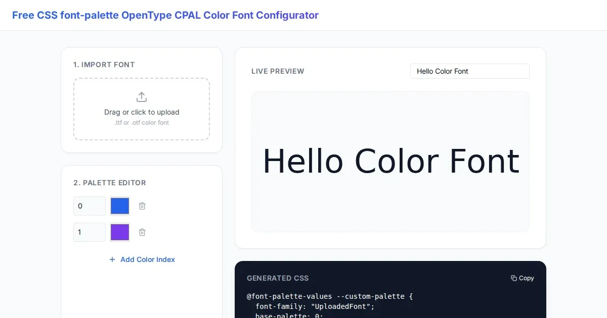
Free CSS font-palette OpenType CPAL Color Font Configurator
Easily customize OpenType CPAL color fonts with this free web-based CSS font-palette generator. Configure, preview, and export CSS code for modern typography.
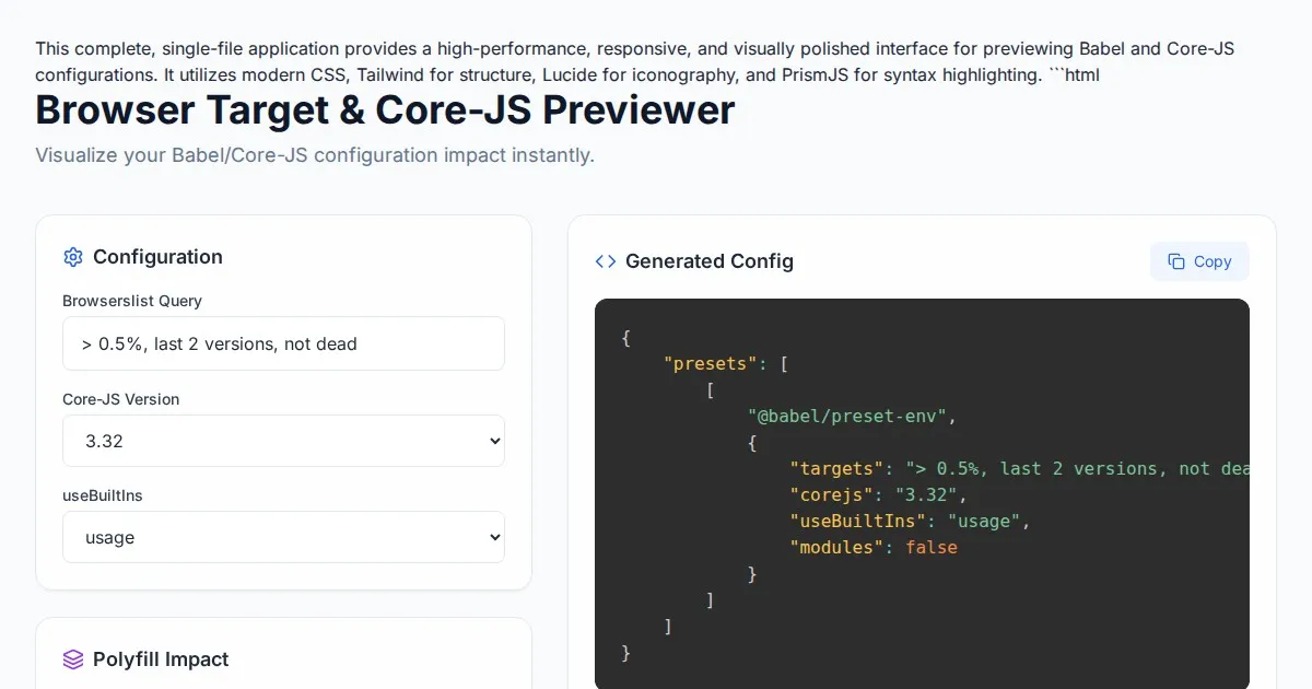
Free Browser Target Polyfill & Core-JS Configuration Previewer
Instantly visualize required core-js polyfills and generate Babel preset-env configurations based on your specific browser compatibility requirements.
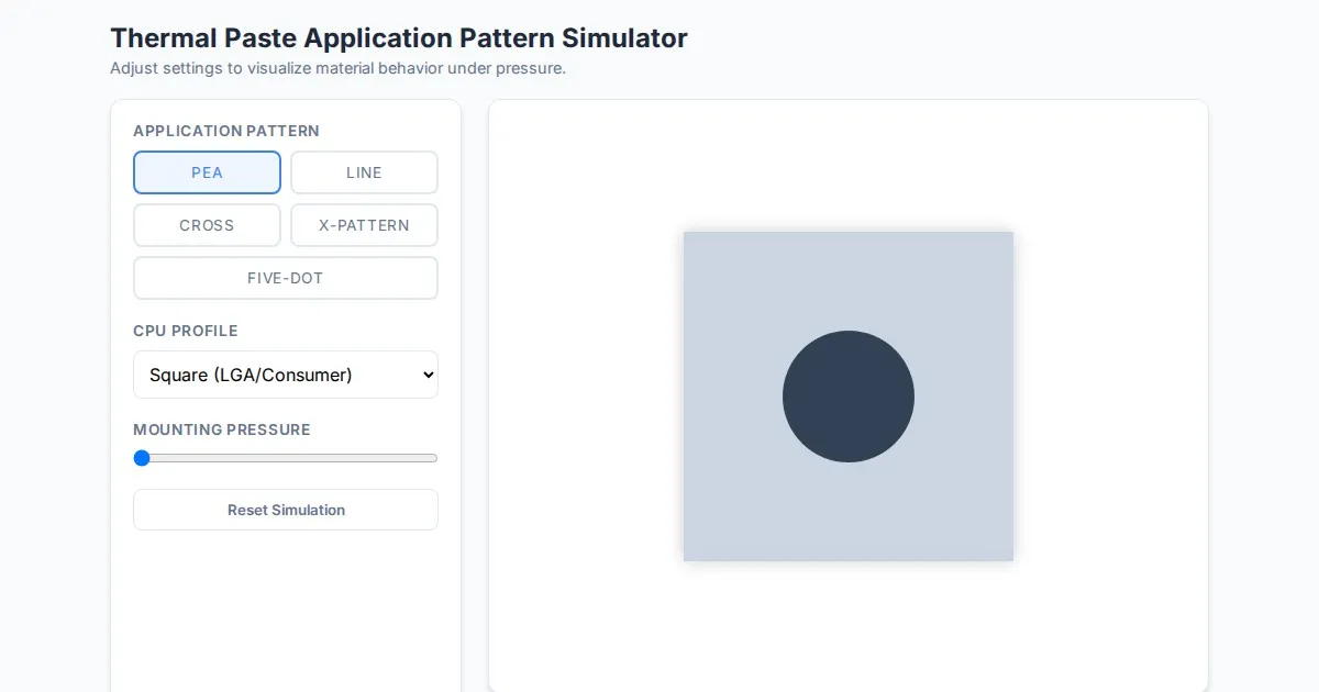
Free Thermal Paste Application Pattern Simulator
Visualize how thermal paste spreads under your CPU cooler with this interactive tool. Test patterns like pea, X, or line for optimal thermal compound coverage.
Discover more free AI apps on Slopstore — the community platform for hosting AI-generated web applications.