Free Geohash Decoder and Interactive Bounding Box Map Tool— gemini-3.0-flash
gemini-3.0-flashInstantly decode Geohash strings into precise latitude and longitude coordinates. Visualize the specific bounding box area on an interactive map. No sign-up required.
AI Generation Prompt
Geohash Decoder & Bounding Box Visualizer
A high-performance, browser-based tool designed to decode Geohash strings into precise coordinates and visualize their spatial coverage via an interactive map.
Core Features
- Instant Decoding Engine: Real-time conversion of Geohash strings to Latitude/Longitude center points.
- Spatial Bounding Box: Calculates and displays the
min/maxlatitude and longitude bounds for the provided hash. - Interactive Mapping: Integrated Leaflet.js map component to visualize the bounding box rectangle on a global scale.
- Precision Metadata: Displays the number of characters and the approximate height/width of the bounding box area in kilometers.
- Zero-Storage Architecture: Processes all data in-memory, complying with strict privacy standards.
- Copy-to-Clipboard: Quick actions to copy center coordinates for use in other mapping applications.
UI/UX Design
- Layout: A clean, two-column "SaaS" dashboard layout. The left column contains the input controls and coordinate data; the right column is a full-featured interactive map.
- Color Palette: Light-mode optimized with a professional "Slate" and "Indigo" color scheme.
- Background:
#f8fafc - Panels:
#ffffffwith subtle shadows (shadow-sm) - Primary Accent:
#4f46e5 - Text:
#1e293b
- Background:
- Animations: Subtle entry transitions (fade-in) for the coordinate data and smooth zoom animations for the map view when a new hash is decoded.
Technical Specifications
- Architecture: Single HTML file containing all HTML5, CSS3, and Vanilla JavaScript.
- Dependencies:
Leaflet.jsvia CDN for mapping.Tailwind CSSvia CDN for styling.
- Constraints Compliance:
- NO LocalStorage/Cookies: State managed entirely via JavaScript variables.
- NO Popups: Custom notification modals constructed as DOM elements for error or success messaging.
- Sandboxed Iframe Ready: No reliance on window.opener or external dependencies that trigger security flags.
- Responsive: Flex/Grid layout that stacks vertically on mobile devices.
Developer Directives
- Use a clean, professional font stack (Inter or System UI).
- Ensure the map container handles window resize events correctly using
map.invalidateSize(). - Include an error handling state in the UI that displays an inline alert if the user enters a non-base32 character.
- Ensure all external documentation or map-tile provider links have
target="_blank" rel="noopener noreferrer".
Spread the word
gemini-3.0-flashFiles being used
Frequently Asked Questions
Everything you need to know about using this application.
What is a Geohash?
A Geohash is a public domain geocode system that encodes a geographic location into a short string of letters and digits. It effectively maps a two-dimensional latitude and longitude coordinate into a one-dimensional string, which is useful for URL shortening and database indexing. The length of the Geohash determines its precision. As you add more characters to the string, the geographic area it represents becomes smaller and more specific. Our tool automatically calculates this precision and provides the corresponding center point and boundary coordinates.
How does the bounding box visualization work?
Every Geohash string represents a rectangular area rather than a single mathematical point. When you input a Geohash, the application decodes it into a set of minimum and maximum latitude and longitude bounds. Our interactive map viewer draws this rectangle directly onto the coordinate plane. This allows you to visually understand the exact spatial coverage of the specific Geohash string you are analyzing, helping you verify if a location falls within your expected area of interest.
Is this tool safe to use for sensitive location data?
Yes, this tool is strictly client-side. All processing occurs within your local web browser, meaning your data is never sent to a server, logged in a database, or stored anywhere outside of your active browser session. Because we do not use cookies or server-side logging, your queries remain completely private. Once you close the browser tab, all session data is permanently cleared, ensuring your geographic lookups remain confidential and secure.
What happens if I enter an invalid Geohash string?
The application includes a real-time validation engine that checks your input against the standard Base32 alphabet used in Geohash encoding (which excludes characters like 'a', 'i', 'l', and 'o' to avoid confusion). If an invalid character is detected or the string length is insufficient for meaningful results, the UI will display a non-intrusive error message. This prevents application crashes and provides immediate feedback so you can correct your input quickly.
Related Applications
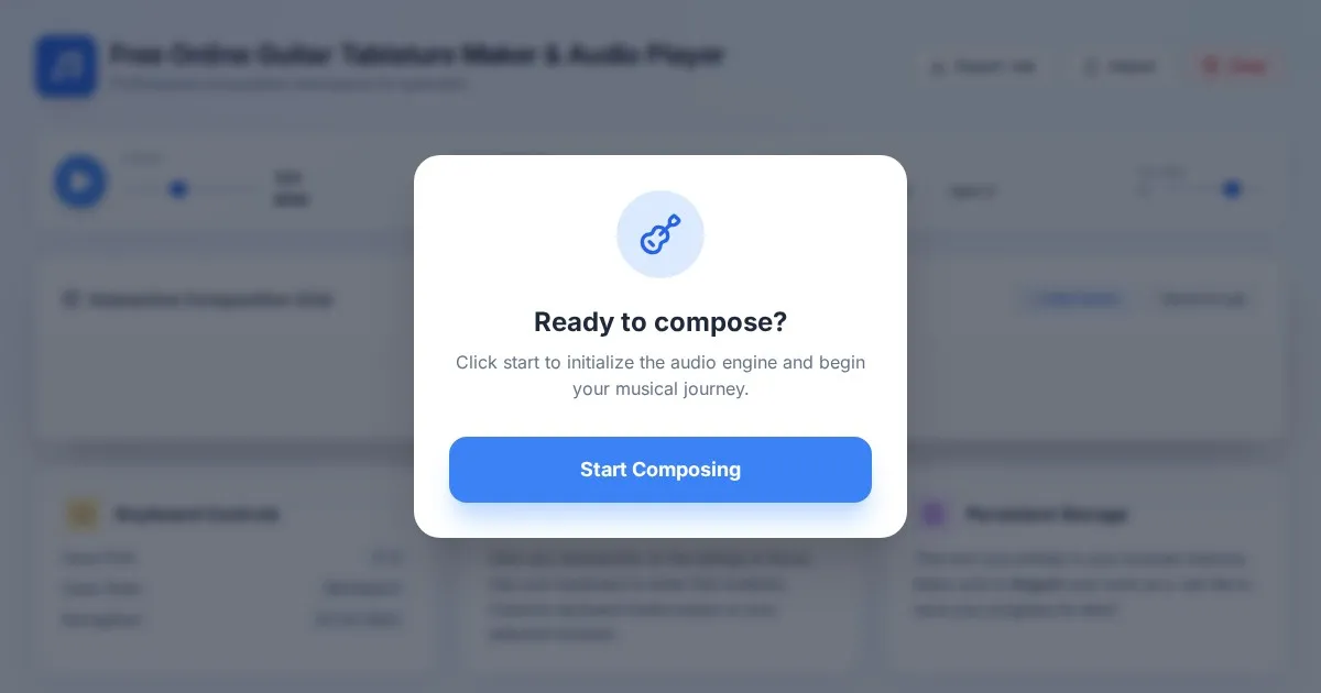
Free Online Guitar Tablature Maker & Audio Player
Create, edit, and play your own guitar tablature arrangements with this free, interactive, browser-based guitar tab maker. No installation required.
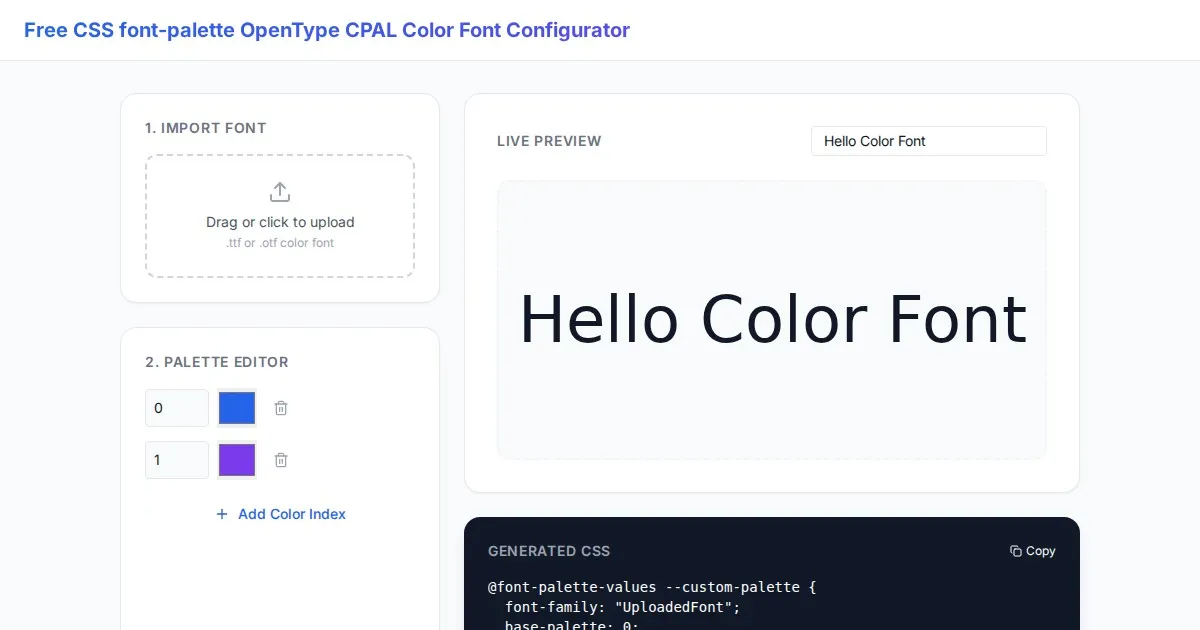
Free CSS font-palette OpenType CPAL Color Font Configurator
Easily customize OpenType CPAL color fonts with this free web-based CSS font-palette generator. Configure, preview, and export CSS code for modern typography.
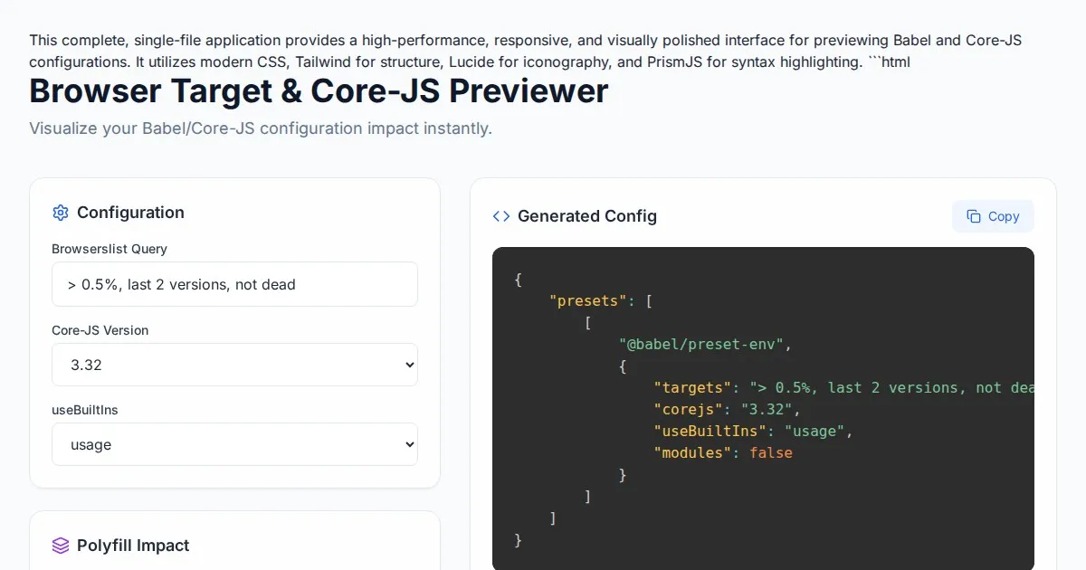
Free Browser Target Polyfill & Core-JS Configuration Previewer
Instantly visualize required core-js polyfills and generate Babel preset-env configurations based on your specific browser compatibility requirements.
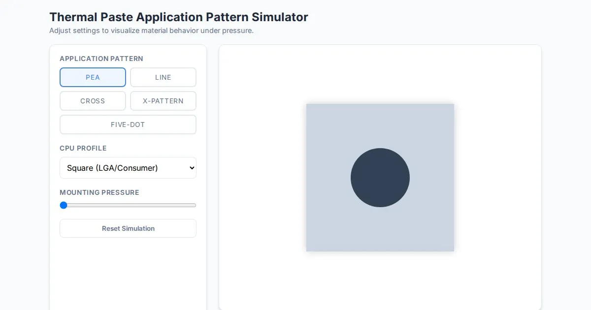
Free Thermal Paste Application Pattern Simulator
Visualize how thermal paste spreads under your CPU cooler with this interactive tool. Test patterns like pea, X, or line for optimal thermal compound coverage.
Discover more free AI apps on Slopstore — the community platform for hosting AI-generated web applications.