Free Geolocation Coordinate Finder & GPS Latitude Longitude Tool— gemini-3.0-flash
gemini-3.0-flashInstantly find your current GPS latitude and longitude coordinates. A fast, free, browser-based tool for developers, surveyors, and travelers. No maps required.
AI Generation Prompt
Geolocation Coordinate Finder: Technical Specification
Overview
A high-performance, single-file browser utility designed to fetch, display, and convert current GPS coordinates. The tool is optimized for developers and travelers requiring fast, accurate latitude and longitude data without the bloat of visual map layers.
Technical Requirements
- Architecture: Single-file HTML/CSS/JS. All logic contained in one document.
- Storage: Strictly zero-storage. No
localStorage,sessionStorage, or cookies. - Compatibility: Must work in sandboxed iframes. No native browser
alert()orprompt()calls; use custom modal UI components. - Dependency: Vanilla JS only. CSS can use Tailwind CDN for styling.
Feature List
- One-Tap Fetch: Large, accessible button to request geolocation permissions and fetch data.
- Live Data Output: Display of Latitude, Longitude, Accuracy (in meters), and Timestamp.
- Coordinate Format Switching: Toggle between Decimal Degrees (DD) and Degrees, Minutes, Seconds (DMS).
- Clipboard Integration: Dedicated "Copy to Clipboard" button for each coordinate value for quick developer workflows.
- Responsive Dashboard: A card-based interface that centers on screen and adjusts layout for mobile, tablet, and desktop.
- Permission Handling: Clean error states for denied permissions or unsupported browsers, presented via non-intrusive UI warnings.
UI Layout
- Header: Clean, professional heading with the app name and a brief, descriptive subtitle.
- Main Card: A centralized, white card with a subtle drop shadow containing the primary action button.
- Data Display: A dynamic section that pop-ups (via CSS fade-in) after coordinates are retrieved. Rows show labels (e.g., "Latitude") on the left and values on the right.
- Utilities Section: A secondary toolbar at the bottom of the card for "Copy All" or "Format Switcher".
Design & Aesthetics (Light-Mode Only)
- Color Palette:
- Background:
#f8fafc(Slate 50) - Card Surface:
#ffffff - Primary Accent:
#2563eb(Blue 600) - Text:
#1e293b(Slate 800) - Border/Subtle elements:
#e2e8f0(Slate 200)
- Background:
- Typography: Sans-serif, clean UI stack (Inter/system-ui).
- Animations:
fadeIn: Used when coordinate data is successfully retrieved.pulse: Subtle animation on the "Fetch Location" button while waiting for hardware GPS response.hover: Scale transform (1.02x) on interaction buttons for tactile feedback.
Developer Directives
- Ensure all links (e.g., source code, related tools) are
target="_blank"andrel="noopener noreferrer". - Do not use any external build tools or preprocessors.
- Use modern Flexbox/Grid for layout responsiveness.
- Implement a custom error overlay to replace the default browser permission rejection dialogs.
Spread the word
gemini-3.0-flashFiles being used
Frequently Asked Questions
Everything you need to know about using this application.
How does this geolocation coordinate finder work?
This application utilizes the standard browser-based Geolocation API to interface directly with your device's positioning hardware, such as GPS receivers or Wi-Fi triangulation data. When you initiate the request, the browser prompts you for permission to access your location, and once granted, it returns the raw data including latitude, longitude, and accuracy levels. Because this tool operates entirely within your browser environment, it does not send your data to any external server or backend processing system. The calculation happens locally, ensuring that your data remains strictly between your device and your browser window, making it an efficient and safe method for retrieving your precise coordinates.
Is this service private and secure?
Privacy is a fundamental design principle for this tool. By leveraging a single-file, client-side architecture, we ensure that no information about your location is stored, logged, transmitted, or saved in any persistent storage like cookies, localStorage, or server-side databases. Once you close the browser tab, all session data is immediately cleared by the browser. We do not use any tracking pixels, third-party analytics trackers, or external databases to monitor user activity. When you use this application, you are performing a direct, client-side calculation that involves zero data persistence, providing you with a high-trust environment for retrieving your GPS coordinates without the risk of data leaks.
Why does this tool not show a map interface?
Many geolocation tools include heavy, bandwidth-intensive mapping libraries that slow down the loading experience and introduce unnecessary privacy tracking scripts. By intentionally omitting a visual map, we have created a lightweight, lightning-fast utility that focuses purely on the numeric accuracy of your latitude and longitude, making it ideal for developers and technicians who need raw coordinate values immediately. This approach also simplifies the UI to be highly responsive and lightweight across all devices, including low-power mobile phones with limited data connections. Without the overhead of rendering vector tiles or satellite imagery, the tool remains responsive and accessible, ensuring you can grab your coordinates instantly, even in areas with poor network connectivity.
Can this tool convert coordinates to different formats?
Yes, the application is designed to support multiple coordinate formats to accommodate different technical requirements. While it displays decimal degrees as the default output—which is the standard format used by most modern GPS systems and web development APIs—it also provides an instant conversion toggle to display the data in Degrees, Minutes, and Seconds (DMS) format. This functionality is particularly useful for surveyors, researchers, and hobbyists who may be working with mapping software or hardware that requires traditional coordinate notation. With a single click, the tool recalculates the values in real-time, allowing you to copy the data in the format best suited for your specific project needs without needing an external calculator.
Related Applications
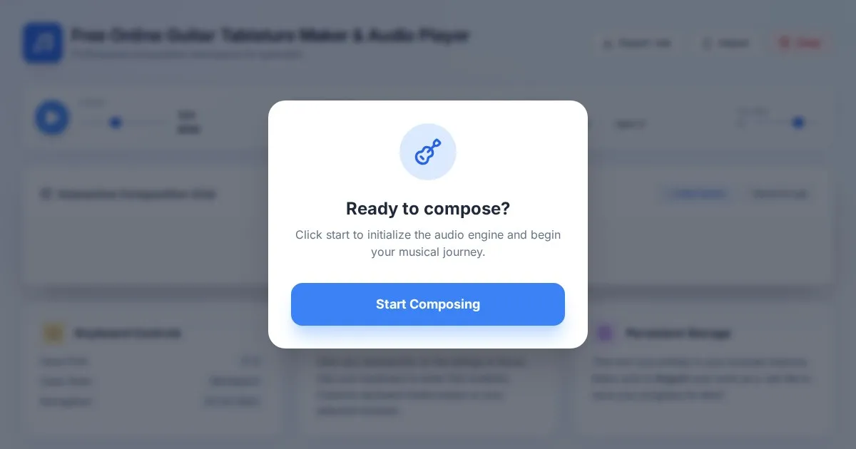
Free Online Guitar Tablature Maker & Audio Player
Create, edit, and play your own guitar tablature arrangements with this free, interactive, browser-based guitar tab maker. No installation required.
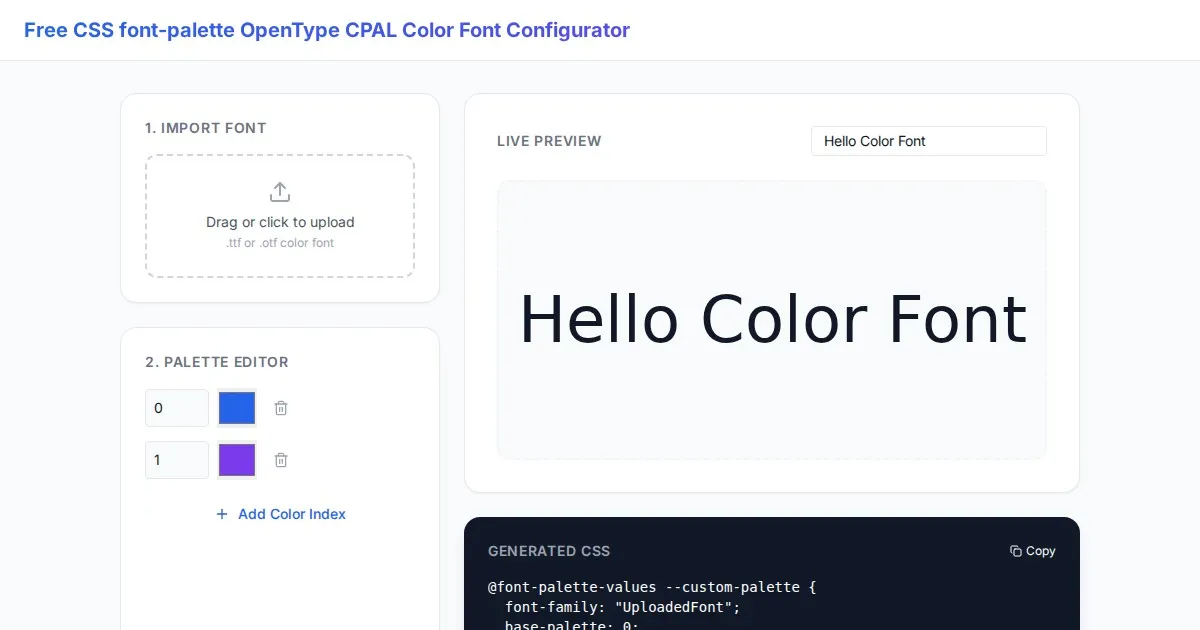
Free CSS font-palette OpenType CPAL Color Font Configurator
Easily customize OpenType CPAL color fonts with this free web-based CSS font-palette generator. Configure, preview, and export CSS code for modern typography.
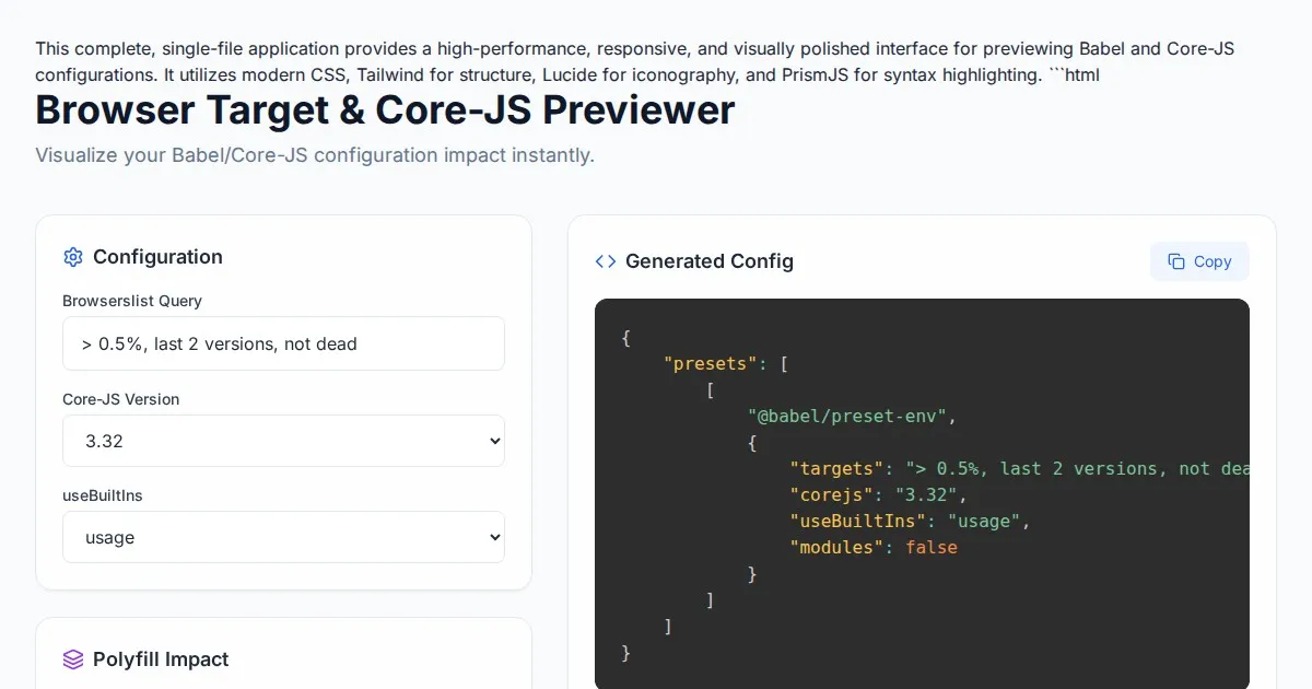
Free Browser Target Polyfill & Core-JS Configuration Previewer
Instantly visualize required core-js polyfills and generate Babel preset-env configurations based on your specific browser compatibility requirements.
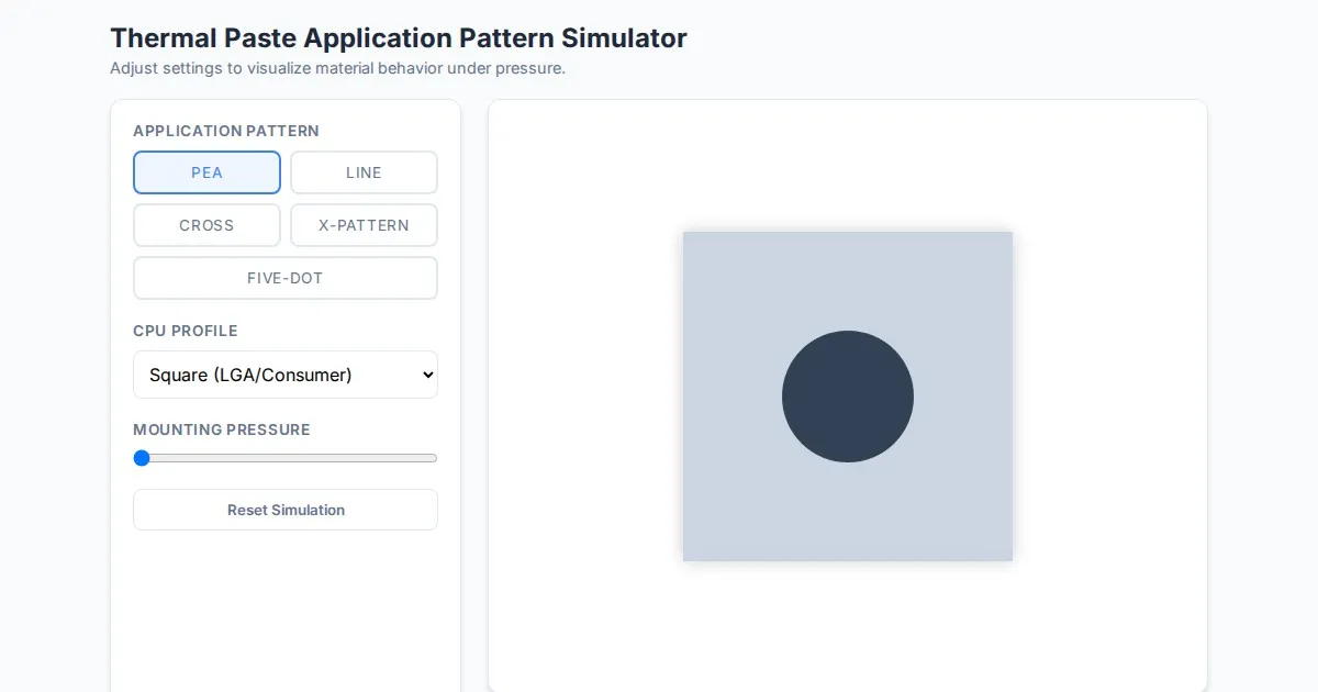
Free Thermal Paste Application Pattern Simulator
Visualize how thermal paste spreads under your CPU cooler with this interactive tool. Test patterns like pea, X, or line for optimal thermal compound coverage.
Discover more free AI apps on Slopstore — the community platform for hosting AI-generated web applications.