Free Latitude Longitude to UTM Zone Converter Tool— gemini-3.0-flash
gemini-3.0-flashConvert geographic coordinates (Latitude and Longitude) to UTM zone, Easting, and Northing instantly. A precise, browser-based coordinate projection calculator.
AI Generation Prompt
Technical Specification: Geographic to UTM Conversion Utility
Overview
A high-performance, single-file browser application designed to convert Latitude and Longitude coordinates (WGS84) into the Universal Transverse Mercator (UTM) system. This tool is built for engineers, geographers, and surveyors who require instant, reliable coordinate projection without the overhead of heavy software.
Core Feature List
- Real-time Conversion: Instant translation of decimal degrees to UTM Zone, Hemisphere, Easting, and Northing as the user types.
- Precision Toggle: Support for varying decimal precision (0 to 6 decimal places).
- Coordinate Clipboard: One-click "Copy Result" functionality for seamless integration into other GIS or CAD software.
- Visual Feedback: Real-time validation of input ranges (e.g., -90 to 90 for Latitude).
- Reset Capability: Instant form clearing for rapid, high-volume repetitive tasks.
- Sandboxed Design: Zero reliance on external servers or persistent storage (no cookies/localStorage).
UI/UX Design
- Layout: A clean, centered-card layout on a soft, light-gray background (
#f8fafc). The interface uses a two-column desktop design (Inputs on left, Results on right) that stacks vertically on mobile devices. - Typography: Sans-serif, human-readable typography (Inter or system-stack) with high-contrast text for accessibility.
- Interactive Elements: Large, clear input fields with subtle shadow transitions on focus. Successful calculations trigger a gentle fade-in effect for the results section.
- Color Palette:
- Primary Brand Color:
#2563eb(Vibrant Blue for CTAs) - Background:
#f8fafc(Off-white) - Card Surface:
#ffffff(White) - Text:
#1e293b(Dark Slate) - Borders:
#e2e8f0(Light Gray)
- Primary Brand Color:
Animation & Interactions
- Micro-interactions: Inputs shift slightly in scale when active. Buttons include a satisfying "active" state (slight reduction in scale).
- Transitions: CSS
transition: all 0.3s ease-in-outon all interactive states. - Loading States: A minimal pulse animation indicates calculation status during bulk operations if implemented.
Developer Directives (Constraint Compliance)
- Architecture: Must be exactly one HTML file containing CSS and JS.
- Styling: Tailwind CSS via CDN is mandatory for consistent SaaS-like aesthetic.
- No Storage: Absolutely NO
localStorage,sessionStorage, orcookies. Application state must be maintained in simple JavaScript variables. - No Popups: Use hidden
divstructures for modal popups if error messaging is required. Never usealert()orconfirm(). - Performance: Minimize JS payload. Calculations should be direct mathematical functions executed in-browser.
- Environment: Ensure the app functions perfectly inside a sandboxed iframe. Do not attempt to use persistent browser APIs.
Spread the word
gemini-3.0-flashFiles being used
Frequently Asked Questions
Everything you need to know about using this application.
How does this Latitude Longitude to UTM converter calculate coordinates?
This tool utilizes the standard Universal Transverse Mercator (UTM) projection algorithm based on the WGS84 datum. It takes the latitude and longitude inputs and performs complex ellipsoidal calculations to determine the specific UTM zone, as well as the Easting and Northing values for that precise location on the Earth's surface. The algorithm identifies the correct zone by dividing the Earth's surface into 60 longitudinal strips, each 6 degrees wide. It then calculates the distance from the zone central meridian (Easting) and the distance from the equator (Northing), applying necessary false easting and northing offsets to ensure all coordinate values remain positive.
What is the difference between geographic coordinates and UTM?
Geographic coordinates (Latitude and Longitude) use an angular measurement system based on a sphere or ellipsoid model of the Earth. These are excellent for global positioning but make measuring distances and areas difficult because the distance between longitudinal lines shrinks as you move from the equator toward the poles. UTM (Universal Transverse Mercator) is a projected coordinate system that represents the Earth on a two-dimensional, flat surface. By dividing the Earth into zones, it flattens smaller sections into Cartesian (X and Y) coordinates. This allows for easier linear distance calculations in meters, making UTM the preferred system for surveying, mapping, and engineering applications.
Is this tool suitable for professional GIS work?
This application is designed as a high-precision calculation tool for quick reference and verification of coordinates. It adheres to standard WGS84 projection mathematics, which is the baseline for most global positioning and mapping software used in professional GIS workflows. However, for large-scale production environments requiring bulk processing, reprojection of entire datasets, or specific local datum transformations (e.g., NAD83 to WGS84), dedicated professional desktop GIS software is recommended. This tool is best suited for quick field checks, academic verification, and coordinate lookup tasks.
Does this tool save my coordinate data?
Privacy and security are prioritized by design. This application runs entirely within your local browser environment. It does not possess any backend infrastructure, database, or cookie-based storage mechanisms, meaning it is impossible for your coordinate data to be saved, transmitted to a server, or accessed by third parties. Because the application operates within a sandboxed, client-side only state, all data is automatically cleared the moment you refresh or close the browser tab. This ensures that every session starts with a clean slate, providing a secure environment for processing sensitive or private geographic data.
Related Applications
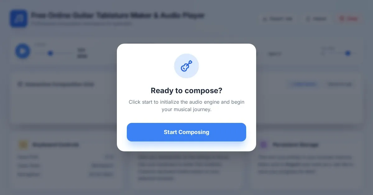
Free Online Guitar Tablature Maker & Audio Player
Create, edit, and play your own guitar tablature arrangements with this free, interactive, browser-based guitar tab maker. No installation required.
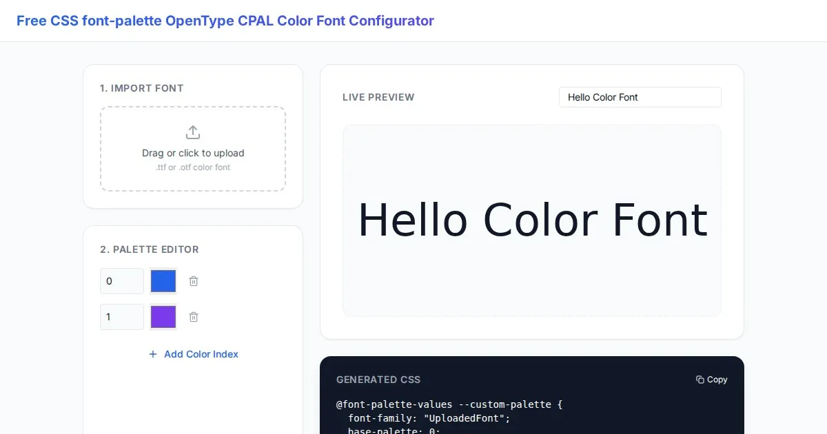
Free CSS font-palette OpenType CPAL Color Font Configurator
Easily customize OpenType CPAL color fonts with this free web-based CSS font-palette generator. Configure, preview, and export CSS code for modern typography.
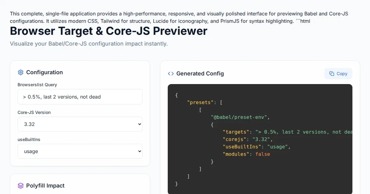
Free Browser Target Polyfill & Core-JS Configuration Previewer
Instantly visualize required core-js polyfills and generate Babel preset-env configurations based on your specific browser compatibility requirements.
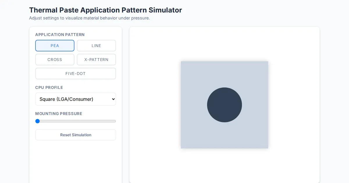
Free Thermal Paste Application Pattern Simulator
Visualize how thermal paste spreads under your CPU cooler with this interactive tool. Test patterns like pea, X, or line for optimal thermal compound coverage.
Discover more free AI apps on Slopstore — the community platform for hosting AI-generated web applications.