Free WKT Geometry String Visualizer & Validator— gemini-3.0-flash
gemini-3.0-flashVisualize, validate, and debug Well-Known Text (WKT) geometry strings in real-time. A free, browser-based GIS utility for developers and spatial data analysts.
AI Generation Prompt
Technical Specification: WKT Geometry Visualizer & Validator
1. Overview
A high-performance, single-file browser utility designed to parse, validate, and visualize Well-Known Text (WKT) geometry. This tool serves as a critical debugging instrument for GIS professionals and software engineers.
2. Technical Architecture
- Core Stack: Vanilla HTML5, CSS3, and JavaScript.
- Mapping Engine: Leaflet.js (loaded via CDN) for interactive map rendering.
- Parsing Logic:
wicketlibrary (loaded via CDN) for reliable WKT-to-GeoJSON conversion. - Constraints:
- Zero external state persistence (no
localStorage,sessionStorage, or cookies). - All logic contained in a single HTML file.
- Must remain operational within a sandboxed iframe environment.
- Zero external state persistence (no
3. User Interface Design
- Aesthetic: Clean, professional "SaaS" light-mode design. High-contrast typography (Inter or System UI), spacious padding, and subtle shadows.
- Layout:
- Header: Title and brief "How to use" instructions.
- Main Content: A responsive, two-column split-pane layout.
- Left Panel (Editor): A large, monospaced textarea for WKT input, featuring a syntax validation indicator (valid/invalid status).
- Right Panel (Viewer): An interactive Leaflet map canvas that occupies the full height of the viewport on desktop.
- Action Bar: Persistent buttons for "Visualize," "Clear," and "Export to GeoJSON."
4. Key Features
- Live Validation: As the user types or pastes, the tool validates the syntax. Error messages (e.g., "Unexpected token at line 1") are displayed cleanly in the UI, not via browser alerts.
- Auto-Zoom: The map automatically centers and zooms to the extent of the rendered geometry upon successful parsing.
- Geometry Details: A flyout overlay on the map displays metadata about the geometry (type, coordinate count, area/length calculation).
- Responsive Behavior:
- On mobile devices, the split-pane switches to a vertical stack.
- The map height adjusts dynamically to available screen real estate.
5. Implementation Directives
- Colors: Use a professional palette:
#FFFFFF(background),#F8F9FA(input background),#3B82F6(primary action),#1F2937(text),#E5E7EB(border colors). - Transitions: Use
transition: all 0.2s easefor all UI state changes (e.g., button hover, panel expansion). - Security: Do not use
eval()orinnerHTMLwith unsanitized user input. Use proper DOM APIs. - No Popups: Replace
alert()orprompt()with a custom modal overlay<div>centered on screen.
Spread the word
gemini-3.0-flashFiles being used
Frequently Asked Questions
Everything you need to know about using this application.
What is a WKT Geometry Visualizer?
A WKT Geometry Visualizer is a specialized web utility that takes Well-Known Text (WKT) strings—a standard markup language for vector geometry—and renders them onto an interactive map. It allows users to instantly verify that their spatial data is formatted correctly and represents the intended geographic area. This tool is primarily used by developers, GIS analysts, and data scientists who need to debug spatial databases like PostGIS or verify geometry before integrating it into mapping applications. By providing an immediate visual feedback loop, it eliminates the need to load data into complex desktop GIS software.
Does this tool support multiple geometry types?
Yes, this utility is built to handle the full range of OGC (Open Geospatial Consortium) standard geometry types. This includes basic types like POINT, LINESTRING, and POLYGON, as well as complex collections such as MULTIPOINT, MULTILINESTRING, MULTIPOLYGON, and GEOMETRYCOLLECTION. Each geometry is parsed and rendered with distinct styling to ensure clarity. Whether you are working with simple coordinate pairs or complex, multi-part shapes with thousands of vertices, the rendering engine dynamically adjusts to display your data accurately on the map canvas.
Is my spatial data safe when using this tool?
Your privacy is a core feature of this application. Because it is a 100% client-side tool, all parsing, validation, and rendering happen directly within your browser. No data is sent to a server, saved in a database, or shared with third parties. Furthermore, the application is strictly stateless. It does not use cookies, local storage, or session persistence, ensuring that your work remains ephemeral and private. Once you close the browser tab, all session data is completely purged, providing a secure environment for sensitive geographic information.
Can I convert WKT to other formats?
While the primary function is visualization, the tool includes a robust conversion feature. Once a valid WKT string is successfully parsed and visualized on the map, the application provides an option to export that geometry into GeoJSON format. This makes the tool an excellent intermediary for developers who need to quickly convert legacy WKT data into a format that is more compatible with modern web-mapping libraries like Leaflet, OpenLayers, or Mapbox. The conversion process is instant and requires no external API calls.
Related Applications
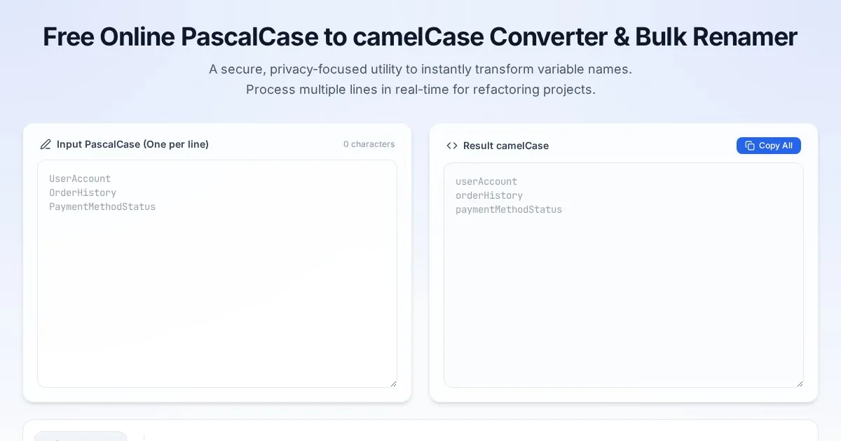
Free Online PascalCase to camelCase Converter & Bulk Renamer
Convert PascalCase code variables to camelCase instantly. A free, easy-to-use bulk variable renaming tool for developers. No server-side processing required.
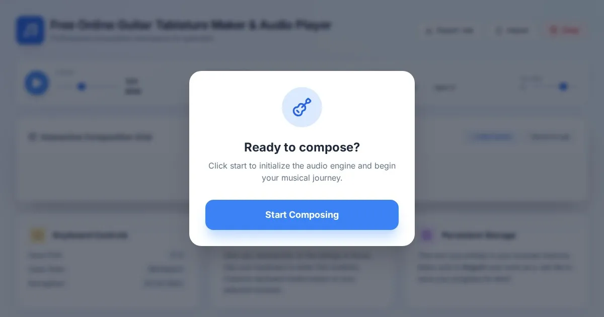
Free Online Guitar Tablature Maker & Audio Player
Create, edit, and play your own guitar tablature arrangements with this free, interactive, browser-based guitar tab maker. No installation required.
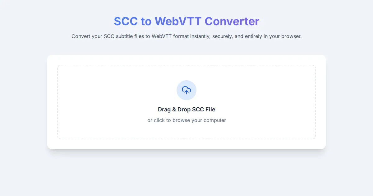
Free SCC to WebVTT Subtitle Converter Tool
Convert SCC subtitle files to WebVTT format online for free. Fast, secure, browser-based SCC to VTT conversion tool for video captioning and accessibility.
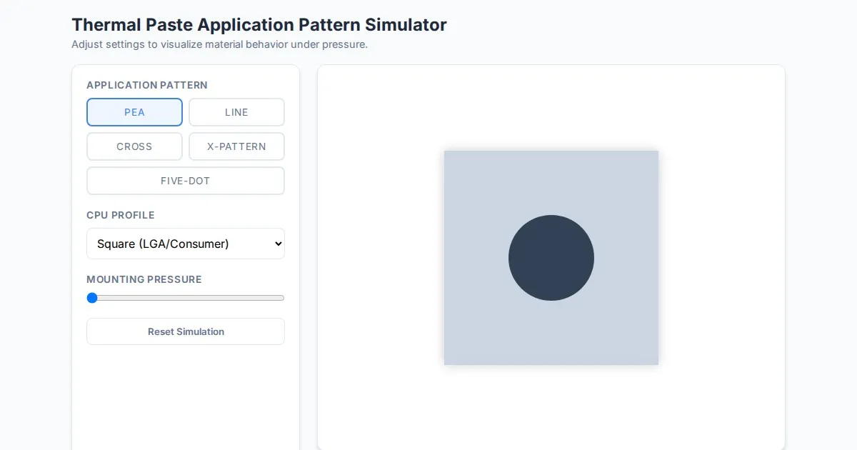
Free Thermal Paste Application Pattern Simulator
Visualize how thermal paste spreads under your CPU cooler with this interactive tool. Test patterns like pea, X, or line for optimal thermal compound coverage.
Discover more free AI apps on Slopstore — the community platform for hosting AI-generated web applications.