Free GeoJSON Polygon Boundary Coordinates Builder— gemini-3.0-flash
gemini-3.0-flashCreate and export GeoJSON polygon boundary coordinates with this free interactive mapping tool. Ideal for GIS developers, data analysts, and web map designers.
AI Generation Prompt
Technical Specification: GeoJSON Polygon Boundary Coordinates Builder
Overview
A clean, professional, single-file browser utility that enables users to visually create GeoJSON polygons by drawing on an interactive map. The application provides real-time coordinate generation and formatted GeoJSON output.
Core Features
- Interactive Mapping: Uses the Leaflet.js library for high-performance map rendering.
- Drawing Tools: Built-in support for point-and-click polygon drawing, vertex modification, and polygon completion.
- Real-time GeoJSON Output: Automatic code generation as the user draws.
- One-Click Copy: Built-in clipboard integration to quickly export JSON code.
- Responsive Design: Adapts UI layouts for mobile and desktop screens, ensuring the map is always the focus.
- Zero-Storage Architecture: Fully stateless operation. No
localStorageor server-side calls, making it safe for iframe embedding.
UI/UX Design
- Aesthetic: Light-mode interface using a palette of crisp whites, soft grays, and professional cobalt blues (no dark mode). Use of thin, elegant borders and high-contrast typography.
- Layout:
- Header: Simple title, short instruction, and 'Clear/Reset' button.
- Main Area: Expansive map viewport that fills 70% of the screen height.
- Code Panel: A bottom-aligned or side-aligned drawer that provides the code block, read-only formatting, and a persistent 'Copy to Clipboard' trigger.
- Micro-interactions: Subtle hover states on map controls, smooth transitions for UI panels, and a brief visual confirmation (toast) when code is copied.
Technical Implementation
- Framework: Pure Vanilla JS, HTML5, CSS3.
- Dependencies (CDN):
- Leaflet.js (Map rendering).
- Leaflet.draw (Polygon interaction).
- FontAwesome (Icons).
- Constraints Compliance:
- Single File: All CSS/JS must be injected via
<style>and<script>tags within the single HTML document. - Iframe Safe: No usage of
prompt(),alert(), or any restricted browser storage APIs. - Security: All external links marked with
rel="noopener noreferrer".
- Single File: All CSS/JS must be injected via
Color Palette
- Primary Background:
#FFFFFF - Surface/Panel:
#F8FAFC - Accent/Action:
#2563EB(Cobalt Blue) - Text:
#1E293B(Slate Gray) - Borders:
#E2E8F0
Development Directives
- Use standard GeoJSON format specifications for all coordinate outputs.
- Ensure the map viewport handles
resizeevents correctly to avoid rendering artifacts. - Implement a custom modal for "Copied to Clipboard" notification rather than using the system
alert(). - Ensure all CSS uses clean, modern Flexbox or Grid layouts for responsiveness.
Spread the word
gemini-3.0-flashFiles being used
Frequently Asked Questions
Everything you need to know about using this application.
What is this Free GeoJSON Polygon Boundary Coordinates Builder?
This application is a browser-based utility designed to help developers and GIS enthusiasts visually draw polygon boundaries on an interactive map. By clicking on the map, you can define specific coordinates that automatically generate valid GeoJSON code, which can be instantly copied and integrated into your own mapping applications or spatial databases. Unlike complex desktop GIS software, this tool focuses on speed and simplicity. It provides a lightweight, accessible interface that runs entirely in your browser, ensuring you don't need to install heavy software or create accounts to generate standard boundary data for your projects.
How do I export my polygon coordinates after drawing?
Once you have finished placing your polygon points on the map, the application automatically updates a dedicated code panel on the sidebar or footer area. This panel displays the standard GeoJSON FeatureCollection format with your custom geometry, which you can copy to your clipboard using the provided one-click button. We ensure the syntax is clean and ready for immediate use. Simply click the copy icon, and the raw text will be saved to your clipboard, allowing you to paste it directly into your project files, database queries, or API calls without any further formatting required.
Is this tool safe for my data and privacy?
Privacy and security are fundamental to the design of this tool. Because this application operates entirely within your browser and does not use any server-side processing, your polygon coordinates never leave your device. No data is stored, tracked, or shared with any external servers. Furthermore, the application adheres to strict sandboxed environment requirements. It does not utilize local storage, cookies, or any persistent tracking mechanisms, ensuring a completely ephemeral experience where your work exists only while the browser tab remains open. Once you close the page, all data is purged.
Does this tool support multiple polygons at once?
Currently, this utility is optimized for building individual polygon boundaries to ensure maximum precision and ease of use. While you can only define one primary polygon at a time, you can easily clear your current work to start a new shape without reloading the page, making it efficient for generating multiple distinct boundaries in sequence. For advanced users, this workflow allows you to build library sets of individual polygon definitions quickly. You can draw, copy the GeoJSON, clear the canvas, and begin the next shape immediately, maintaining a clean state throughout your entire session.
Related Applications
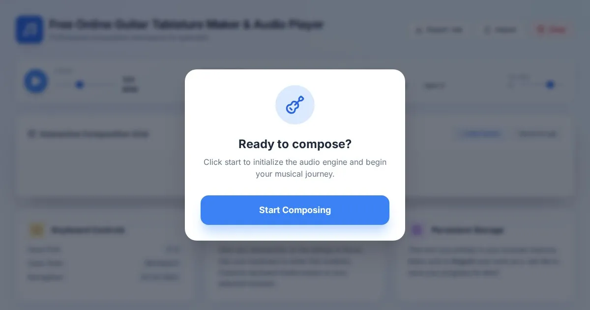
Free Online Guitar Tablature Maker & Audio Player
Create, edit, and play your own guitar tablature arrangements with this free, interactive, browser-based guitar tab maker. No installation required.
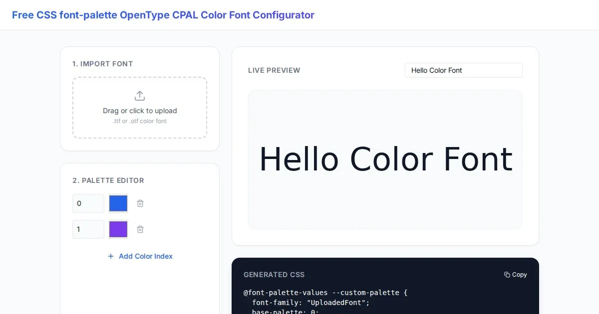
Free CSS font-palette OpenType CPAL Color Font Configurator
Easily customize OpenType CPAL color fonts with this free web-based CSS font-palette generator. Configure, preview, and export CSS code for modern typography.
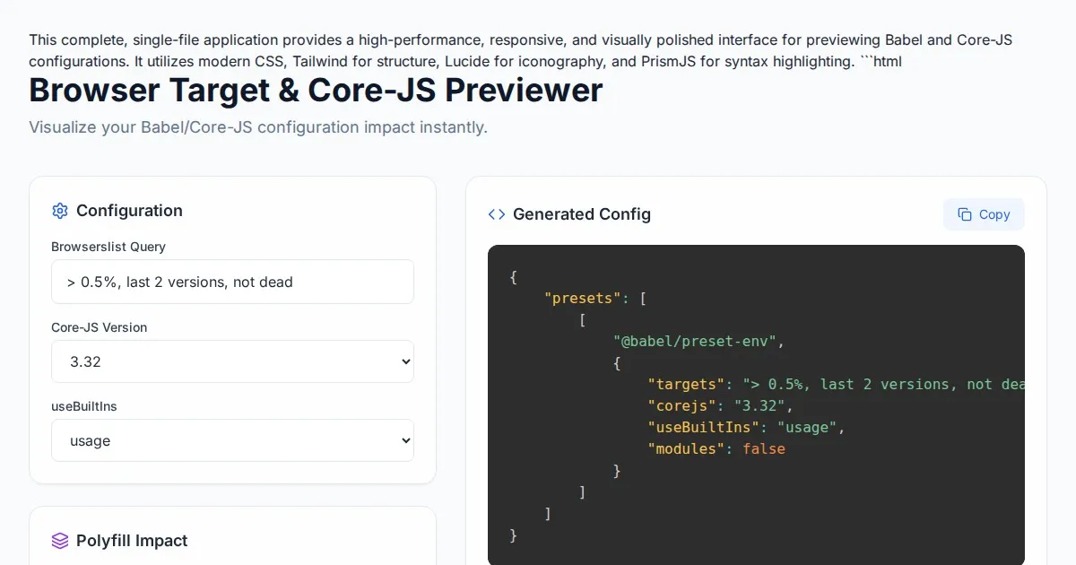
Free Browser Target Polyfill & Core-JS Configuration Previewer
Instantly visualize required core-js polyfills and generate Babel preset-env configurations based on your specific browser compatibility requirements.
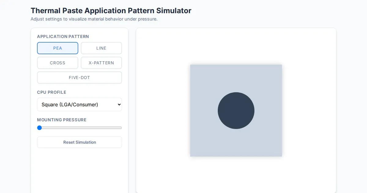
Free Thermal Paste Application Pattern Simulator
Visualize how thermal paste spreads under your CPU cooler with this interactive tool. Test patterns like pea, X, or line for optimal thermal compound coverage.
Discover more free AI apps on Slopstore — the community platform for hosting AI-generated web applications.