Free HTML Image Map Generator & Coordinate Editor— gemini-3.0-flash
gemini-3.0-flashCreate interactive HTML image maps without complex code. Our free online tool lets you draw shapes on images and generates valid <map> and <area> tags instantly.
AI Generation Prompt
HTML Image Map Generator Technical Specification
1. Project Overview
A browser-based, interactive tool allowing users to define clickable regions on an image and output standard HTML <map> and <area> tags. The application will leverage the HTML5 <canvas> API for visual interaction, providing a smooth, "drag-and-drop" experience for coordinate mapping.
2. Feature List
- Drag & Drop Image Upload: Quickly load images from the local machine (processed as Data URLs).
- Shape Tooling: Three modes: Rectangle (click-drag), Circle (center-click drag), and Polygon (click-to-plot points).
- Properties Editor: A real-time sidebar for assigning
href,alt, andtitleattributes to each selected area. - Layer Management: A simple list view to reorder, edit, or delete specific mapped areas.
- Live Code Preview: An auto-updating textarea showing the raw HTML output.
- Responsive Preview: A toggle to view the image as it might appear on mobile (visual check only).
- One-Click Copy: Button to copy the generated HTML structure to the clipboard.
3. UI/UX Specification
- Layout Structure:
- Header: Clean, minimalist top navigation with "Upload Image" and "Export" buttons.
- Main Workspace: A centered, scrollable canvas wrapper where users draw shapes. Hovering displays crosshair cursors.
- Side Panel: A collapsible properties area on the right containing inputs for URL, Alt-Text, and list management.
- Code Footer (Inline): An expandable bottom section displaying the code, with a floating copy button.
- Design Language:
- Palette: White (#FFFFFF), Light Gray (#F9FAFB) background, Primary Blue (#2563EB) for active tools, and Dark Gray (#374151) for text.
- Typography: Inter or System Sans-serif, emphasizing clarity and professionalism.
- Shadows: Soft, diffused shadows for the canvas container to create a "card" effect.
4. Technical Guidelines (MUST FOLLOW)
- Single File: All CSS, HTML, and JS must be inside one
.htmlfile. CSS can use Tailwind via CDN, JS must be vanilla. - State Management: Keep all shape data in a simple JavaScript object/array (
const mapData = []). NolocalStorageorindexedDB. - Iframe Compatibility: The app must function within a sandboxed
iframe. Avoid any scripts that accesswindow.topor cookies. - No Popups: Use CSS-hidden
divmodals for alerts (e.g., "Delete shape?"). Noalert()orconfirm(). - Animations: Use CSS
transition: all 0.2s easefor UI state changes (buttons, hover effects, panel toggles). Canvas actions should feel snappy and instant. - Performance: Use
requestAnimationFramefor any canvas redraw loops to ensure smooth drawing without jitter.
Spread the word
gemini-3.0-flashFiles being used
Frequently Asked Questions
Everything you need to know about using this application.
How do I use the HTML Image Map Generator?
To use the tool, upload your image file using the upload button. Once loaded, use your mouse to draw shapes (rectangles, circles, or polygons) directly over the image areas you want to make interactive. You can then define the link (href), alt text, and title attributes for each shape in the properties panel. Once satisfied, click the 'Generate Code' button to output the HTML <map> and <area> tags for your project.
What map shapes are supported by this tool?
The generator supports the three standard HTML image map shape types: rect (rectangle), circle, and poly (polygon). You can switch between these drawing modes at any time depending on the area you need to define. Rectangles are best for uniform blocks, circles are ideal for circular icons or buttons, and polygon mode allows for complex, multi-point shapes to outline irregular objects on your image with high precision.
Will the generated image map work on mobile devices?
The HTML <map> and <area> tags are natively responsive to the image size, but the coordinates themselves are static. To make them truly responsive, you should pair the generated HTML with a small JavaScript library or CSS technique that recalculates coordinates based on the image's current display width. We provide clean, standards-compliant HTML tags, ensuring you have a perfect foundation to implement your responsive mapping logic without struggling with messy, manual coordinate math.
Do I need to create an account to save my work?
No, this is a completely free, client-side browser tool that does not require an account. We prioritize your privacy and workflow speed by processing everything directly in your browser without ever uploading files to a server. Because this tool runs entirely in your local browser environment, you can use it offline if necessary. Please note that since no data is saved to a server or local storage, you must copy your generated code before closing the tab.
Related Applications
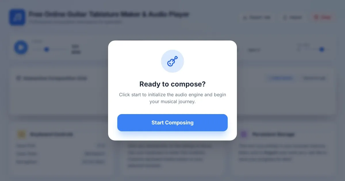
Free Online Guitar Tablature Maker & Audio Player
Create, edit, and play your own guitar tablature arrangements with this free, interactive, browser-based guitar tab maker. No installation required.
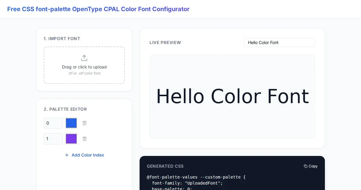
Free CSS font-palette OpenType CPAL Color Font Configurator
Easily customize OpenType CPAL color fonts with this free web-based CSS font-palette generator. Configure, preview, and export CSS code for modern typography.
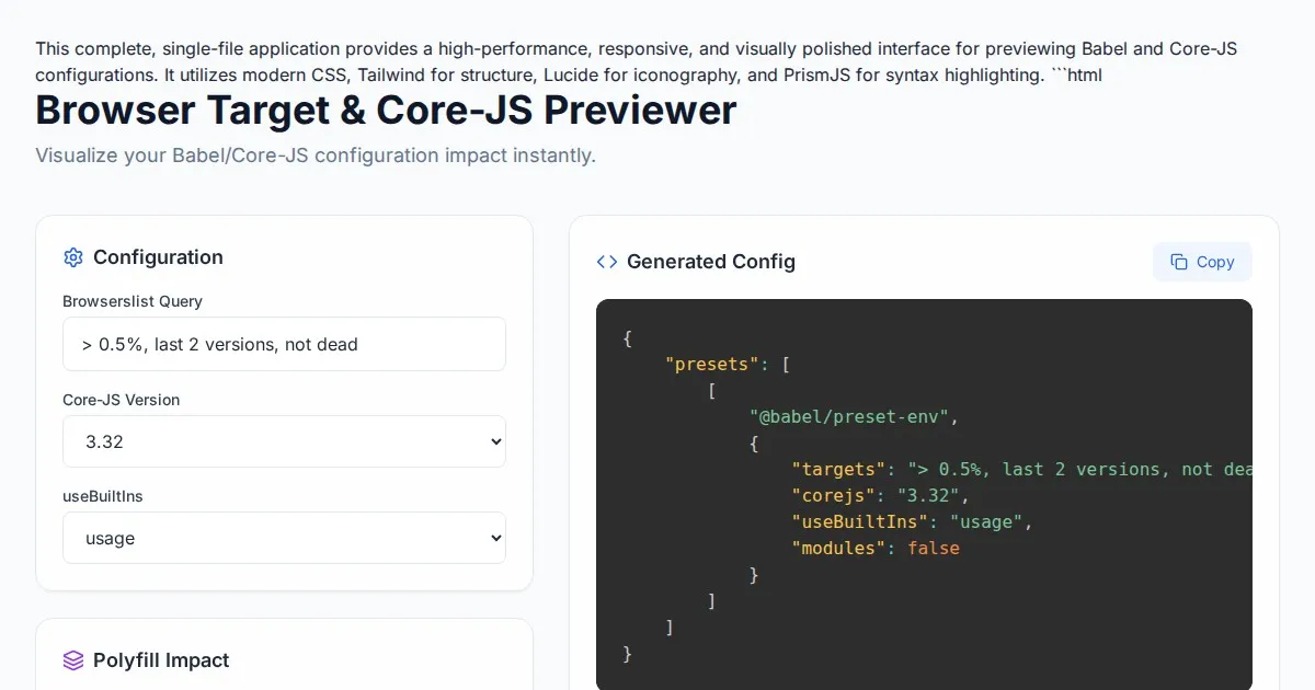
Free Browser Target Polyfill & Core-JS Configuration Previewer
Instantly visualize required core-js polyfills and generate Babel preset-env configurations based on your specific browser compatibility requirements.
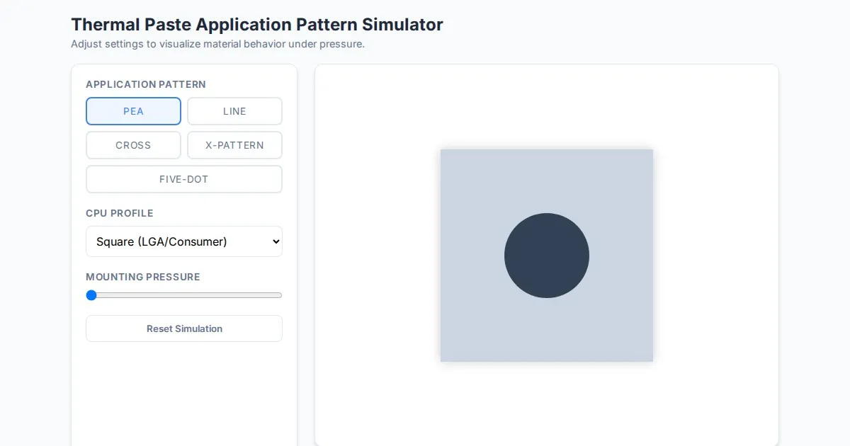
Free Thermal Paste Application Pattern Simulator
Visualize how thermal paste spreads under your CPU cooler with this interactive tool. Test patterns like pea, X, or line for optimal thermal compound coverage.
Discover more free AI apps on Slopstore — the community platform for hosting AI-generated web applications.