Free Online Interactive World Travel Map Visualizer— gemini-3.0-flash
gemini-3.0-flashEasily track, color-code, and visualize your visited countries with this free, interactive world map generator. Create custom travel maps instantly online.
AI Generation Prompt
Technical Specification: Interactive World Travel Map Visualizer
Overview
A high-performance, single-file browser application designed to allow users to visualize their travel history. Users interact with a responsive SVG world map, clicking countries to toggle their status between 'Visited' and 'Not Visited', and exporting the resulting visualization as an image file.
Core Features
- Interactive SVG Map: A detailed SVG world map where individual country paths are clickable targets.
- Dynamic Statistics: Live calculation of total countries visited and the percentage of the world covered.
- Customizable Color Coding: User-defined color selection for visited vs. unvisited regions using a simple interface.
- PNG Export Functionality: Integration of the
html2canvaslibrary to render the current map state as a downloadable high-resolution image. - Stateless Operation: Because the app cannot use storage APIs, a prominent warning is displayed reminding users to export their work before refreshing the page.
UI/UX Layout
- Header: Contains the tool title, a 'Reset Map' button (clears state), and an 'Export to PNG' button with a download icon.
- Main Tool Area: A centered, responsive container housing the SVG map. Hovering over a country displays a tooltip with the country name.
- Control Sidebar/Panel: A light, modern panel showing:
- 'Statistics' block (Visited count, Percentage).
- 'Legend' block (Color toggles).
- 'Instructions' section (Helpful text on how to interact).
- Responsive Behavior: The map scales down on mobile devices, with a touch-friendly interface for selecting countries.
Design System & Aesthetic
- Aesthetic: Premium light-mode SaaS style. Crisp whites (
#ffffff), soft grays (#f9fafb), and professional blue/green accents (#2563eb,#10b981). - Typography: Clean, sans-serif font stack (Inter or System UI).
- Shadows: Subtle
box-shadowusage on the control panel to lift it from the background. - Transitions: Smooth
transition: fill 0.2s easeon SVG paths for hover and click interactions.
Technical Implementation Constraints
- Architecture: Single HTML file containing all HTML, CSS, and Vanilla JavaScript. No external build processes.
- External Assets: Use CDN-hosted libraries (e.g., Tailwind CSS,
html2canvas) via script tags. - Security/Compatibility:
- No Storage: Absolutely no use of
localStorage,sessionStorage, or cookies. Maintain application state using a plain JavaScript object. - No Browser Prompts: Replace
alert()orprompt()with custom DOM-based modal elements if notifications are required. - Sandboxing: Ensure all elements are compatible with iframe sandboxing (avoid synchronous blocking calls).
- No Storage: Absolutely no use of
- External Links: All links (if any) must use
target="_blank"andrel="noopener noreferrer".
Spread the word
gemini-3.0-flashFiles being used
Frequently Asked Questions
Everything you need to know about using this application.
Is this travel map visualization tool free?
Yes, this is a completely free, browser-based tool that requires no registration or payments to use.
How do I save my map progress?
Since this tool operates entirely in-memory for your privacy, please use the 'Export as Image' button to save your progress as a PNG file before closing your browser.
Is my data stored on a server?
No. All processing happens locally in your web browser. We do not store, track, or upload any of your travel data.
Related Applications
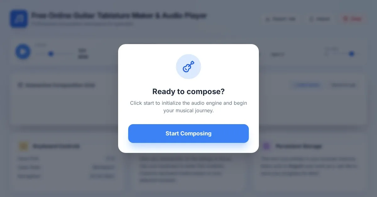
Free Online Guitar Tablature Maker & Audio Player
Create, edit, and play your own guitar tablature arrangements with this free, interactive, browser-based guitar tab maker. No installation required.
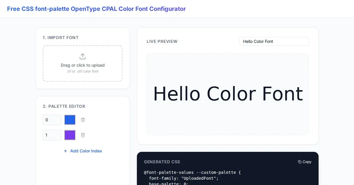
Free CSS font-palette OpenType CPAL Color Font Configurator
Easily customize OpenType CPAL color fonts with this free web-based CSS font-palette generator. Configure, preview, and export CSS code for modern typography.
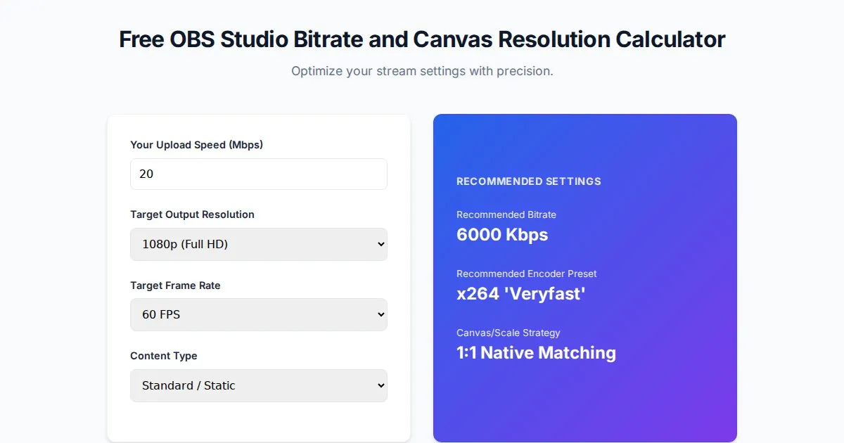
Free OBS Studio Bitrate and Canvas Resolution Calculator
Easily calculate the optimal bitrate, canvas scaling, and frame rate for your OBS Studio streams. Improve stream quality with our free, easy-to-use tool.
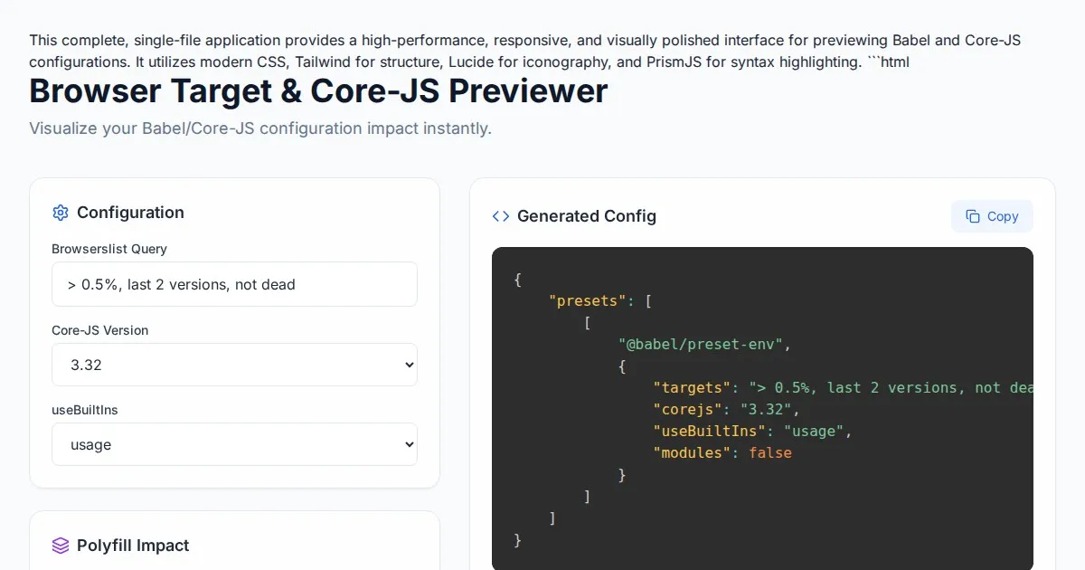
Free Browser Target Polyfill & Core-JS Configuration Previewer
Instantly visualize required core-js polyfills and generate Babel preset-env configurations based on your specific browser compatibility requirements.
Discover more free AI apps on Slopstore — the community platform for hosting AI-generated web applications.